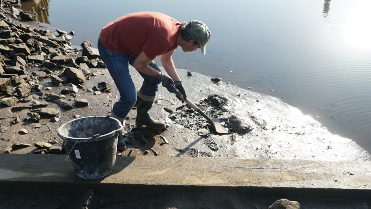
Borrow some silt from the River Clyde. Dry the silt until it is a fine powder. Walk along the geological drift line marking the extent of the river’s alluvial plain, which lies underneath parts of the city centre. Sprinkle silt along the line as you walk.
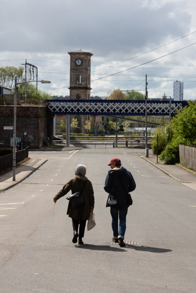
From Victoria Park Drive North to George Square, Glasgow.
6 May 2021. Drifting with Larissa Naylor, Professor of Geomorphology and Environmental Geography, University of Glasgow, and a bag of silt from the River Clyde. Minty Donald.
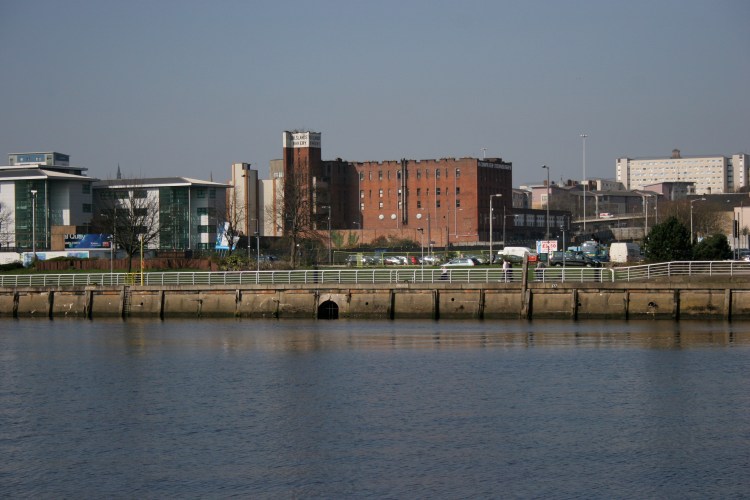
The starting point is Stobcross Road beside the Clydeside Distillery. Here, a footbridge crosses the Clydeside Expressway, a busy four-lane highway forming a barrier between the river and the west of the city. The distillery, currently closed due to COVID-19 restrictions, is in an old pumphouse. The pumphouse supplied hydraulic power for Queen’s Docks, which were excavated and constructed on this site between 1877 and 1880. Queen’s Docks, like several other Clydeside docks, was filled in during the 1970s. Beyond the site of the former docks is a student accommodation block, fabricated from a stack of shipping containers.
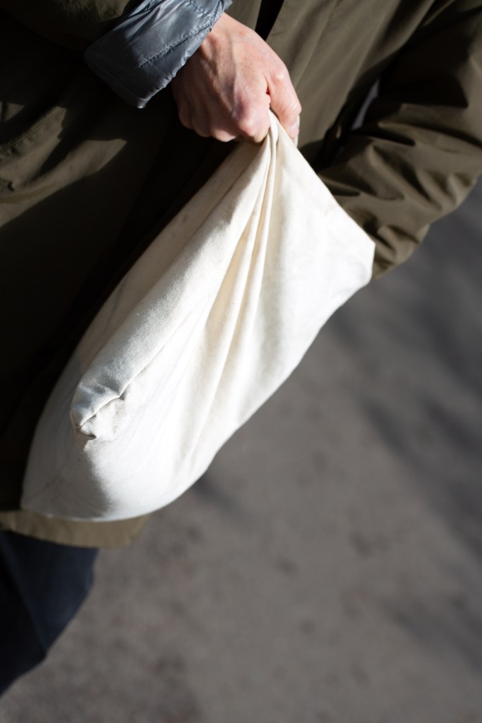
I have brought with me a bag of silt: mud dried to a fine powder, which was shovelled several days earlier from a slipway about 700 metres downstream from the old pumphouse. The slipway is one of very few access points to the river in the city centre. I sift the silt between my fingers. I imagine the bed of the river: khaki sludge and stones; discarded bottles, cans, and ubiquitous shopping trolleys; hundreds of small plastic stalks, sheets, and threads from cotton buds, sanitary towels, and dental floss: the identifiable markers of bathroom waste that is regularly dumped in the river in times of high rainfall. All shifting and settling with the tides, wind, and weather. I reach for my hand sanitiser, squidge out a generous blob and rub my hands vigorously.
Larissa arrives on her bike. It’s raining steadily. Sheltering under a cycle park canopy, Larissa points to a wall, about one metre high, clad in a shiny black material, and with stainless steel valves placed at regular intervals along its base. The wall runs beside the ‘active travel route’: a path for walkers and cyclists on the north bank of the River Clyde. ‘That’s a flood defence wall’, she says. ‘But the active travel route, and those houses, won’t be protected if the river floods – they’re the wrong side of the wall’.
The Clyde in Glasgow city centre is what Larissa calls a ‘hard edge’ river, classified by the Scottish Environment Protection Agency as a ‘heavily modified water body’. Its tidal waters, which rise and fall up to five metres twice daily, are constrained within steep, granite ashlar walls. Before modification, the Clyde was fordable in several places, including one near the starting point for the drift at Pointhouse, where low water level was around forty centimetres. Left to its own devices, the Clyde would be a very different river: wider and much more shallow, dotted with shoals and islands, meandering.
Modifications to the Clyde date back over centuries. The first major modification, to create a deeper navigable channel in the city centre river, was made in the second half of the eighteenth century, driven and financed by Glasgow tobacco merchants. These merchants, whose wealth and status grew from ownership of, and trade with, plantations run on slave labour in Virginia and Maryland, might be seen as setting the tone for subsequent human interactions with the Clyde. Throughout the nineteenth and early twentieth centuries, the river was treated as part of the industrial and commercial infrastructure of the city: deepened, narrowed, and canalised, with an extensive complex of docks and quays excavated and constructed to harness the river in the service of Glasgow’s trade and industry. The demise of ship-building and water-based transport on the Clyde in the second half of the twentieth century left an obsolete human-built infrastructure, and a hard border between the water and the ’made’ land claimed from the river’s flood plains.

The rain eases.
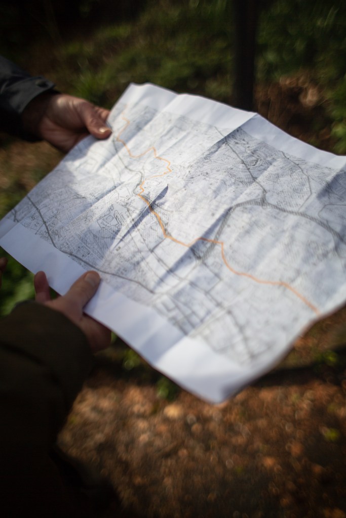
Sprinkling silt as I walk, I try to imagine the river before humans settled in the area, when it was free from industrial pollution, free to spread and shift course. I think about the path we are trying to trace on our drift, following the line marked on a geological map to denote the extent of alluvial deposits from the river. Judged by geological analysis, this line is the furthest west that the river has ever shifted or spread. Marking something as transient and dynamic as the edge of a river with a fixed line on a map strikes me as misleading and incongruous.

‘If rainfall increases and sea levels rise as much as predicted you need to make space for the water’, says Larissa. ‘How do you capture the imagination that the river is not a fixed entity? It changes. It’s naturally dynamic, and dynamic also through human intervention’.
I wonder if it is time for reparation for the river— time to let go of the ‘made’ land and give the River Clyde back its freedom.

Alluvial Drift with Ingrid Shearer, June 2021
Images: Callum Rice
Editing: Nick Millar
